
The Lake Homeowner’s Guide to Impervious Surface Rules in Minnesota
What Impervious Surface Means for Your Lake Lot
Owning a lake place in Minnesota feels great until you start hearing about impervious surface limits and shoreland rules. If you want to add a garage, patio, or bigger driveway, you need to know how those changes affect your lot. That is where a lake home survey from Compass Consultants Inc. comes in.
Local shoreland rules around lakes like Big Detroit Lake, Leech Lake, or Otter Tail Lake can be strict. Counties follow Minnesota Department of Natural Resources guidelines that look at your lot size, your existing hard surfaces, and how close you are to the water. If you guess at those numbers, you could end up with a plan the zoning office rejects.
What Actually Counts as Impervious Surface
Impervious surface sounds like a fancy term, but it is simple. It means any surface that does not soak up water. Roofs, concrete patios, asphalt driveways, paver sidewalks, and storage sheds all count. Even some compacted gravel areas and decks with tight boards may be treated as impervious if water cannot drain through well.
Many lake homeowners around Otter Tail County and Wadena County think only the house roof matters. Then they add a lakeside patio, a wider driveway, and a shed near the road. Later they find out their impervious percentage went over the local limit. A clear, professional measurement of every hard surface on your lot keeps that from happening.
How Minnesota Shoreland Rules Affect Your Plans
Most Minnesota shoreland districts limit how much of your lot can be covered with impervious surface. The exact percentage depends on the lake classification and the local ordinance. For many lakes, the total impervious surface has to stay under a set percent of the lot area. That rule protects the lake from extra runoff, erosion, and algae growth.
These same rules also control building setbacks. Setbacks tell you how close you can build to the lake, the road, and side lot lines. If your planned garage or addition sits inside that setback line, the county will ask for changes before approving your permit. A lake home survey from Compass Consultants Inc. plots those setback lines on a scaled map so you see exactly where you can build before you hire a contractor.
Why an Accurate Impervious Surface Calculation Matters
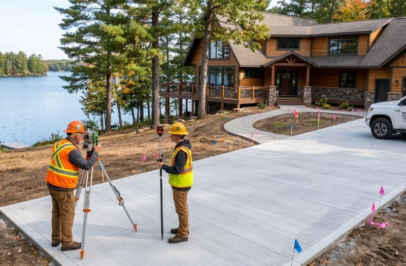
You can try to measure your house and patio with a tape measure, but it is easy to miss something or do the math wrong. A professional survey measures your lot, your structures, and each paved or covered area with certified instruments. The surveyor calculates the exact square footage of each impervious item and the total percentage of your lot.
That kind of accuracy matters when you are sitting across from a county permit reviewer in Detroit Lakes or Park Rapids. They want to see real numbers backed up by a licensed professional, not a rough sketch on a notepad.
How a Lake Home Survey Keeps You Compliant
A proper lake home survey ties everything together on one document. It shows your legal lot boundaries, your distance from the ordinary high water mark, your building setbacks, and your impervious surface calculation. When you bring that to the county office, staff can review your project much faster.
This kind of survey also protects you down the road. If a future buyer, neighbor, or inspector questions your patio or garage addition, you have a professional document showing it was planned within the rules. That matters when you have serious money tied up in your lake home.
Ready to find out what you can build on your Minnesota lake lot without running into DNR shoreland limits? Contact Compass Consultants Inc. to schedule a lake home survey and get solid answers before you pour concrete or sign a contractor agreement.

