
Flood Zone? How a LOMA Survey Could Lower Your Insurance Premiums
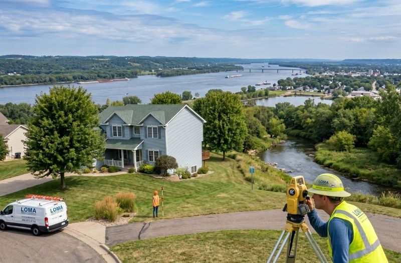
Your House Might Not Actually Be in a Flood Zone
If your lender is requiring flood insurance on your home, you might be paying for coverage you do not actually need. FEMA flood maps are drawn broadly, and they do not always reflect the true elevation of individual properties. A LOMA survey in Minnesota could be the key to getting that requirement removed.
Compass Consultants Inc. works with property owners across Otter Tail County, Becker County, and surrounding areas who have found themselves flagged on a FEMA flood map despite sitting well above any realistic flood risk. The fix starts with a precise elevation survey.
What a FEMA Flood Map Actually Shows
FEMA creates flood maps, called Flood Insurance Rate Maps, to show which areas are at risk during a major flood event. These maps are useful but imperfect. They are drawn at a broad scale, and the lines that separate a flood zone from a non-flood zone do not account for the specific elevation of every home or building on the map.
That means a house sitting on a slight rise can end up inside a flood zone boundary on paper, even though the structure itself is safely above the base flood elevation. That one map line can cost homeowners hundreds or even thousands of dollars per year in mandatory flood insurance premiums.
What a LOMA Is and How It Works
A Letter of Map Amendment, or LOMA, is an official request to FEMA to remove a specific structure from the Special Flood Hazard Area designation. To get one, you need a licensed surveyor to measure the exact elevation of the lowest floor of your home and compare it to the base flood elevation shown on the FEMA map.
If your home sits above that base flood elevation, the surveyor prepares an Elevation Certificate. That document goes to FEMA as part of your LOMA application. If FEMA agrees, they issue a letter officially removing your property from the flood zone designation.
What Happens After a Successful LOMA
Once FEMA issues the LOMA, your lender no longer has a legal basis to require flood insurance on the property. You can cancel your flood insurance policy and stop paying those premiums. For many homeowners, that savings adds up quickly.
The LOMA process does take some time, but the investment in a flood elevation survey from Compass Consultants Inc. often pays for itself within the first year of cancelled premiums. Homeowners near rivers and low-lying areas in Hubbard County and Wadena County have gone through this process and come out ahead.
Is a LOMA Right for Your Property
If you are paying for mandatory flood insurance and your home feels like it sits well above the surrounding land, it is worth finding out your actual elevation. A quick conversation with a licensed surveyor can tell you whether a LOMA is realistic for your situation before you spend anything.
You should not be paying for flood insurance you do not need. Contact Compass Consultants Inc. to find out if your home qualifies for a FEMA flood map amendment and what an elevation certificate would cost you.

