Revolutionizing Land Surveying: The Rise of Drone Technology
Imagine capturing precise land measurements and detailed aerial imagery in a fraction of the time it takes using traditional surveying methods. Welcome to the world of drone surveying, where unmanned aerial vehicles (UAVs) are transforming the land surveying industry. At Compass Consultants, Inc., we’re excited to share how this cutting-edge technology is reshaping our field and benefiting our clients across Minnesota, North Dakota, and South Dakota.
The Drone Surveying Revolution
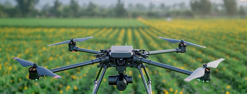
Drone surveying represents a significant leap forward in land surveying technology. These nimble, remote-controlled aircraft equipped with high-resolution cameras and advanced sensors are changing the game for surveyors and their clients. Here’s why:
- Increased efficiency and speed
- Enhanced accuracy and data quality
- Improved safety for surveyors
- Cost-effective for large or difficult-to-access areas
- Ability to capture both aerial imagery and 3D data
Benefits of Drone Surveying
1. Time and Cost Savings
Drone surveying dramatically reduces the time required to survey large or complex areas. What might take days or weeks with traditional methods can often be accomplished in hours with a drone. This efficiency translates to cost savings for both surveyors and clients.
2. Improved Accuracy
Modern drones equipped with RTK (Real-Time Kinematic) GPS can achieve centimeter-level accuracy. This precision, combined with the ability to capture millions of data points, results in highly accurate surveys and 3D models.
3. Enhanced Safety
Drones allow surveyors to collect data from a safe distance, reducing the need to access dangerous or hard-to-reach areas physically. This is particularly beneficial for surveying steep terrain, busy roadways, or contaminated sites.
4. Comprehensive Data Collection
UAVs can capture both aerial imagery and 3D point cloud data in a single flight. This comprehensive data collection enables the creation of detailed orthomosaic maps, digital elevation models, and 3D visualizations.
Challenges and Considerations
While drone surveying offers numerous advantages, it’s not without challenges:
- Regulatory compliance with FAA regulations
- Weather dependencies
- Initial investment in equipment and training
- Data processing and storage requirements
At Compass Consultants, we’ve invested in the necessary training and equipment to overcome these challenges, ensuring we deliver top-quality drone surveying services to our clients.
The Future of Drone Surveying
As drone technology continues to advance, we can expect to see even more impressive capabilities in the future:
- Integration with AI and machine learning for automated data analysis
- Improved battery life for longer flight times
- Enhanced sensors for even greater accuracy and data collection
- Increased autonomy in flight planning and execution
Experience the Drone Surveying Difference with Compass Consultants
Drone surveying is revolutionizing the land surveying industry, offering unprecedented efficiency, accuracy, and safety. At Compass Consultants, we’re proud to be at the forefront of this technological advancement, providing our clients with cutting-edge surveying solutions.
Ready to experience the benefits of drone surveying for your next project? Contact Compass Consultants today at 218-346-3600 to learn how our drone surveying services can save you time and money while delivering exceptional results. Let us guide you in the right direction with our expert land surveying services!