
Understanding the Basics of Land Surveying
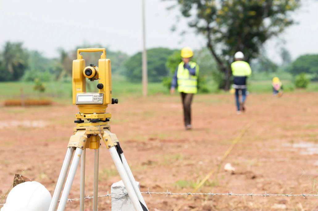
Land surveying is a vital process that determines the precise location of both natural and man-made features on the Earth’s surface. It is essential for property owners, developers, and anyone involved with land, as it is used to define property boundaries, plan construction, and create legal maps and documents.
The Role of a Land Surveyor
A land surveyor is a professional who is trained to accurately measure and document land features. They employ a range of tools and techniques, from traditional instruments like total stations and transit levels to modern technology such as GPS and GIS systems, to collect data.
After gathering the data, the surveyor analyzes it to create a survey—a map or document that illustrates the location of the land’s features. This survey serves multiple purposes, including establishing precise property lines, providing documentation for legal use, and guiding construction projects.
Key Types of Land Surveying
Different projects require specialized surveying methods:
- Boundary Surveying: Determines the exact borders of a property. It is frequently used for creating legal documents like deeds and resolving property line disputes.
- Topographic Surveying: Creates detailed maps showing the land’s contours, along with features such as buildings, roads, and water bodies. This is crucial for construction planning and environmental impact assessments.
- Construction Surveying: Locates a construction project on the land to ensure it is built in the correct place and complies with all local zoning and building codes.
- Geographic Information Systems (GIS) Surveying: Utilizes computer technology to generate digital maps and databases of property features. It is commonly applied in urban planning, natural resource management, and emergency services.
The Critical Importance of Land Surveying
Land surveying is fundamental to many aspects of daily life. It enables accurate property demarcation, safe and efficient development planning, and the creation of reliable legal documents. Without precise surveying, determining property ownership and developing land would be impossible.
Furthermore, surveying supports environmental protection. By creating accurate maps and identifying sensitive areas like wetlands and floodplains, surveyors help ensure that development minimizes its ecological impact.
The field is continuously evolving, with technologies like GPS and GIS allowing surveyors to create highly accurate, detailed maps and 3D models. This technology is used for monitoring land changes, identifying potential hazards, and planning future development.
The Land Surveying Process
A typical land survey involves a series of distinct steps, though the exact process may vary based on the project’s specifics:
- Research: The surveyor first gathers all necessary documents, such as deeds and plats, to understand the property’s history and identify any potential issues.
- Field Work: The team physically visits the site to collect data using surveying instruments (e.g., total stations, GPS equipment). Detailed notes and photographs are also taken.
- Data Processing: The collected data is analyzed to create the map or document illustrating the property’s features.
- Report Preparation: A comprehensive report is prepared, summarizing the survey findings. This includes the map, property boundaries, dimensions, and elevations.
- Review and Approval: The final report may require approval from local authorities, the property owner, or the developer.
Land surveying is an essential and complex field crucial for the safe development and management of land resources. From defining property ownership to guiding construction, a basic understanding of surveying—including its steps, the importance of hiring an experienced professional, and associated costs—is valuable for anyone involved with property. Contact Compass Consultants today to discuss your project and goals!

